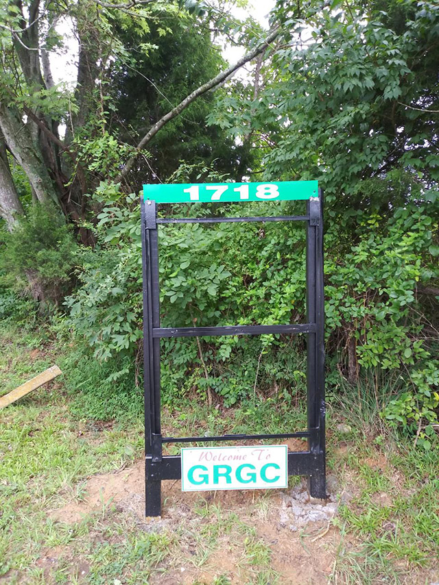
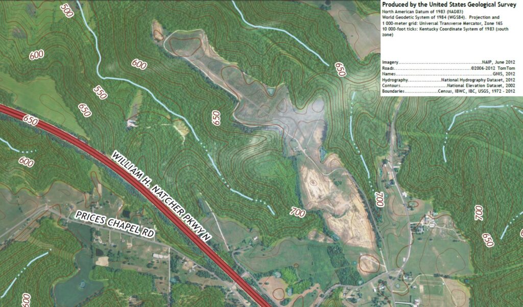
1718 Prices Chapel Rd, Bowling Green, Kentucky
GPS Coordinates (generated by Garmin nüvi 350)
N 37°01.648’ W086°32.047’
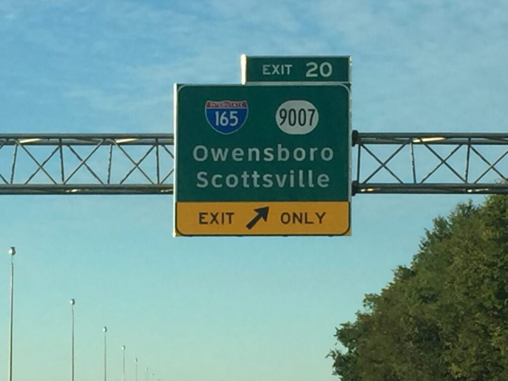
From I-65
Exit 20: I-165 / William H Natcher Parkway North
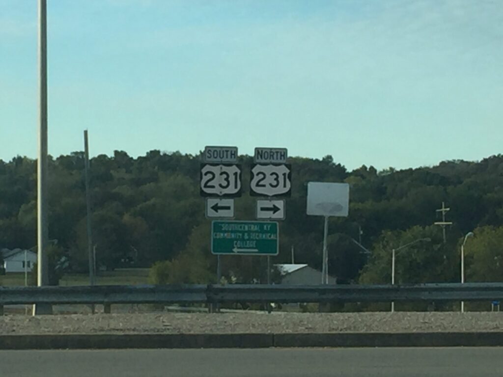
Exit 9: US-231
Turn Left at the top of the exit ramp (heading away from town)
4.2 miles from Parkway . . .
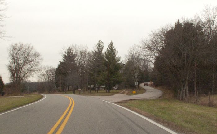
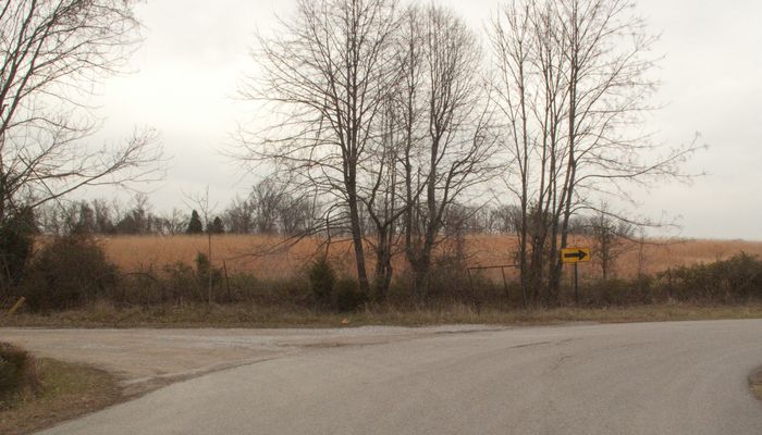
Turn up to the right onto Prices Chapel Road
1.3 miles later, cross over the Natcher Parkway Bridge
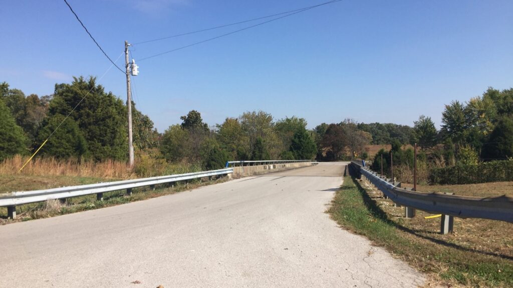
and immediately turn Left into Range Road
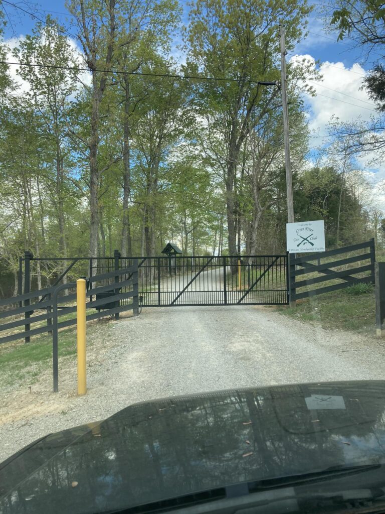
Gate entrance to Range.
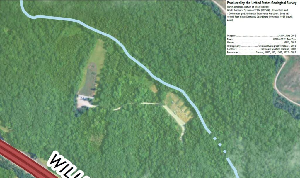
Overview of the Price Chapel Area (Range at top Left) . . .
And a Closeup of the Main and New Gale Stiles Ranges.
(Cowboy Action Range to left of Main, obscured by tree coverage.)